We develop computational imaging techniques that sense our environment at a scale, resolution, or quality that was previously impossible.
Research Areas
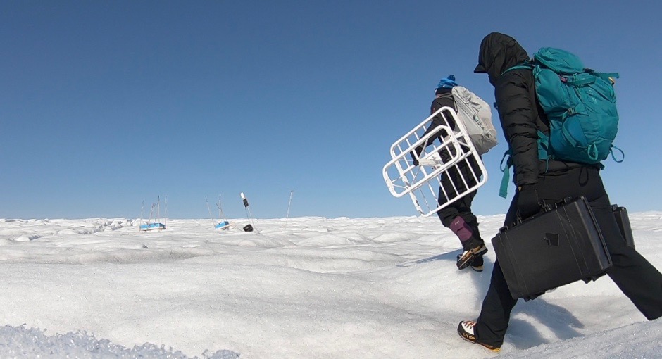
Cryosphere Radars
We are inventing radar techniques to measure ice properties at scales previously unexplored. The systems she develops provide measurements that better constrain ice sheet models to improve the accuracy of sea level rise predictions.
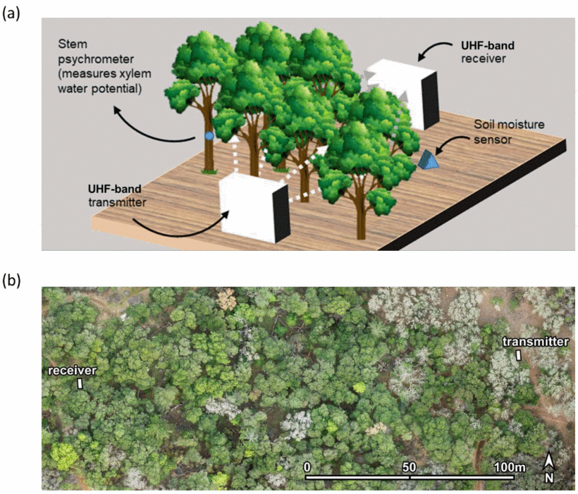
Biosphere Radars
We are developing radars and data assimilation techniques for 3D mapping of vegetation structure and water content to improve wildfire risk predictions, CO2 sequestration assessment, and ecosystem health.
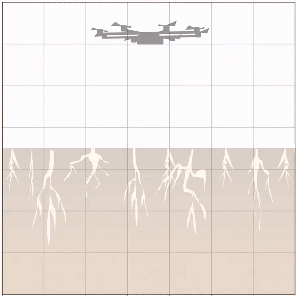
Near Subsurface Radar
We are creating new methods of monitoring our limitted resources including drone-based soil moisture estimation and satellite-based aquifer volume retreivals.
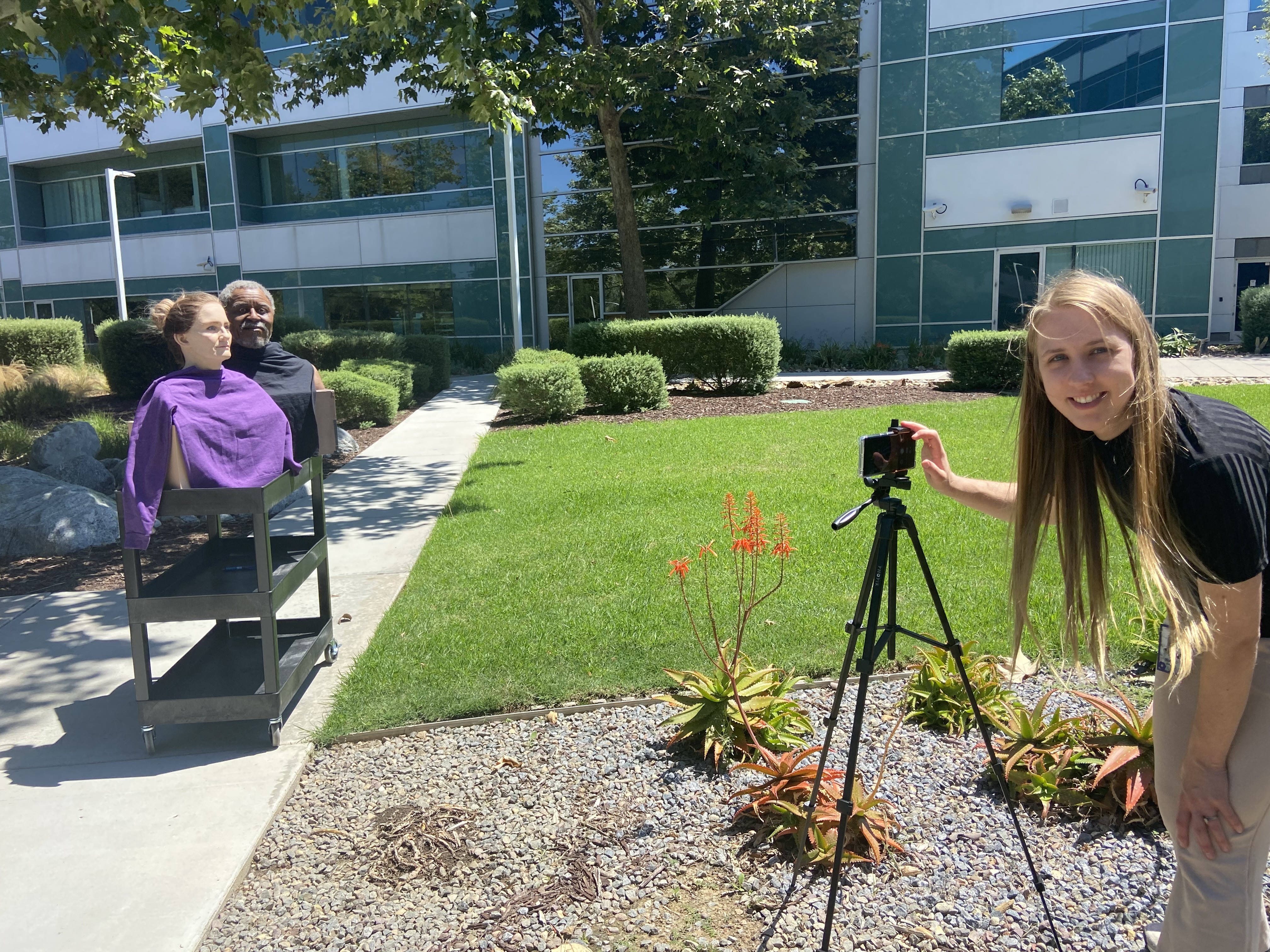
Computational Photography
We develop imaging algorithms not only for radar, but also for cameras. We focus on equitable imaging and develop methods that ensure beautiful, crisp images for all users.